

tvscum
-
Content Count
1034 -
Joined
-
Last visited
Posts posted by tvscum
-
-
@KTMrad right they found his clothes in Dec 2022, but not his remains, right?
https://www.facebook.com/groups/351259317751/ -
-
-
Did anybody see a blue Toyota Tacoma abandoned and damaged (perhaps near heart attack hill) in late July or early August 2023? If so, do you know the date? Any photos? The truck belonged to a missing couple who may have tried to hike out in the extreme heat. Thanks!
-
 1
1
-
-
No personal connection.. just got this via email.

-
 2
2
-
-
11 hours ago, tvscum said:.thumb.jpg.ac10116abde045e5e70fbb7281d75687.jpg)
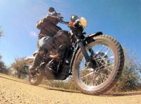
Maybe it's the size. My front is a 80/90-21 on the left on this photo. FYI, the bike in the center with no rider has a fatty GoldenTyre.
-
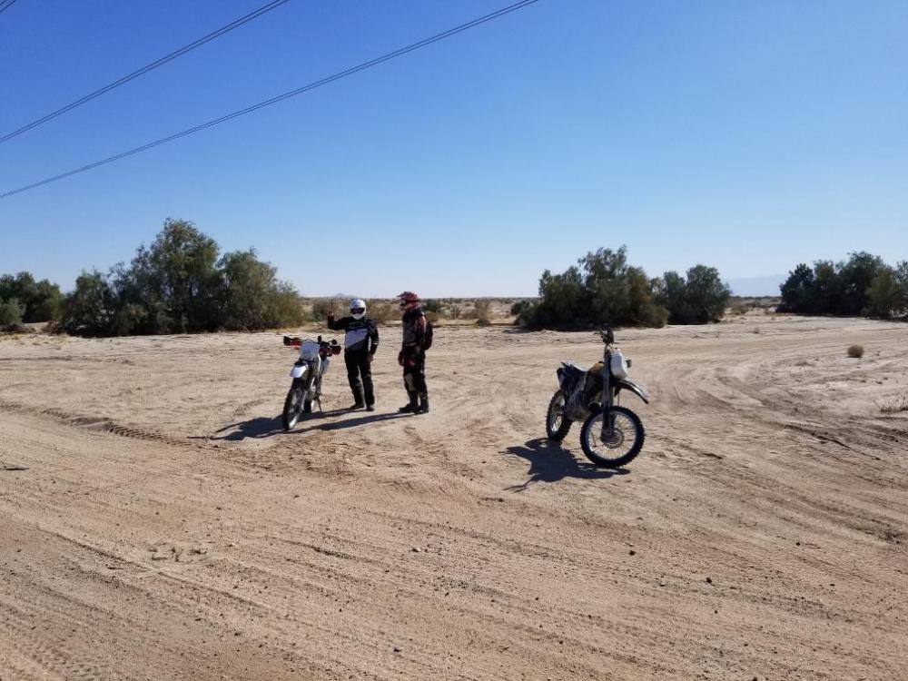
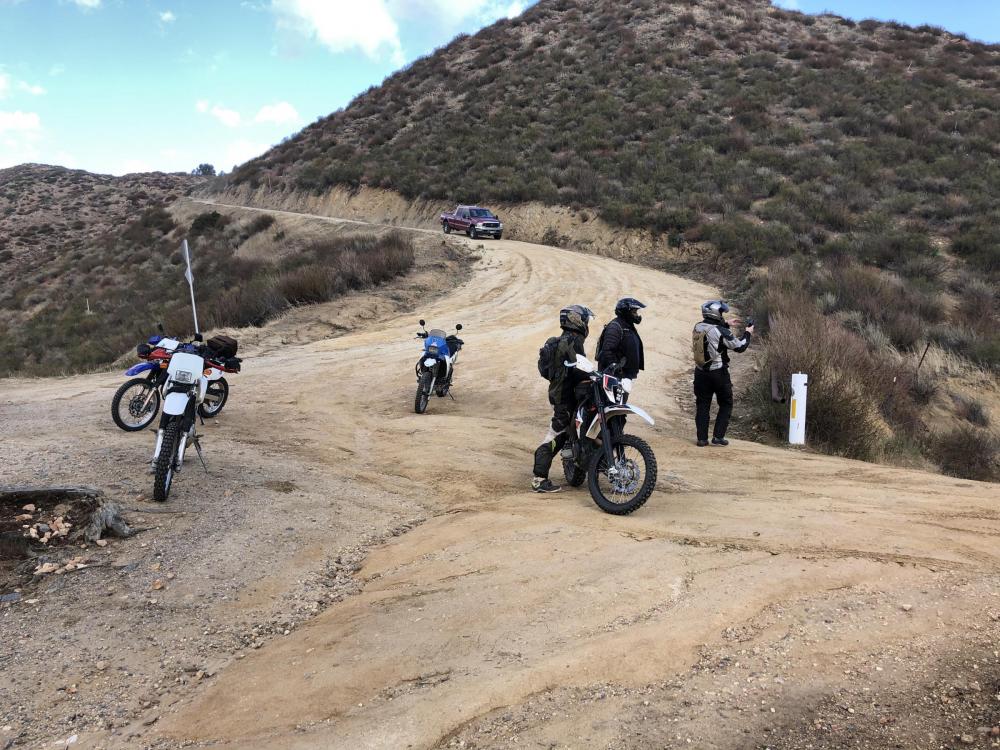
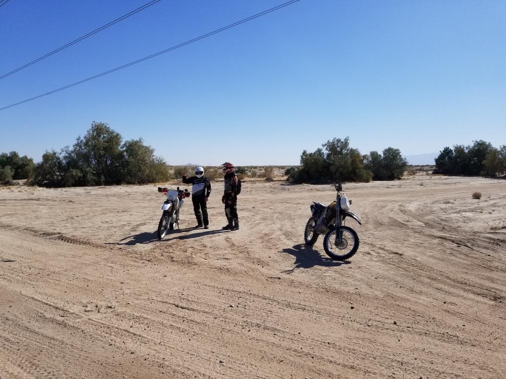
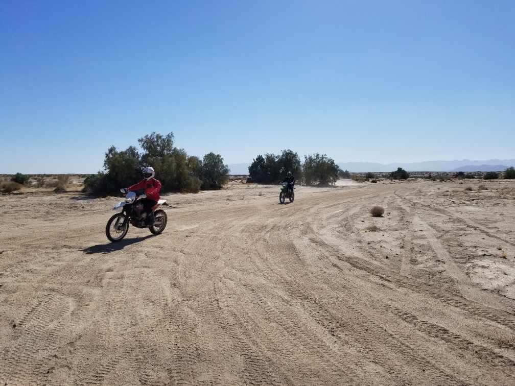
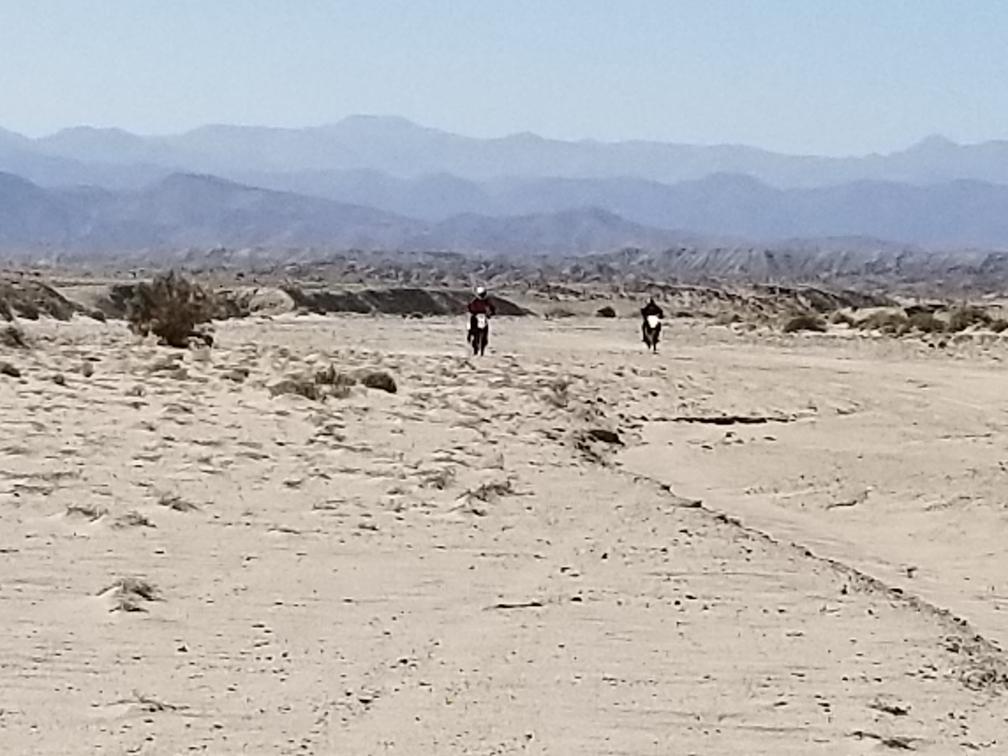
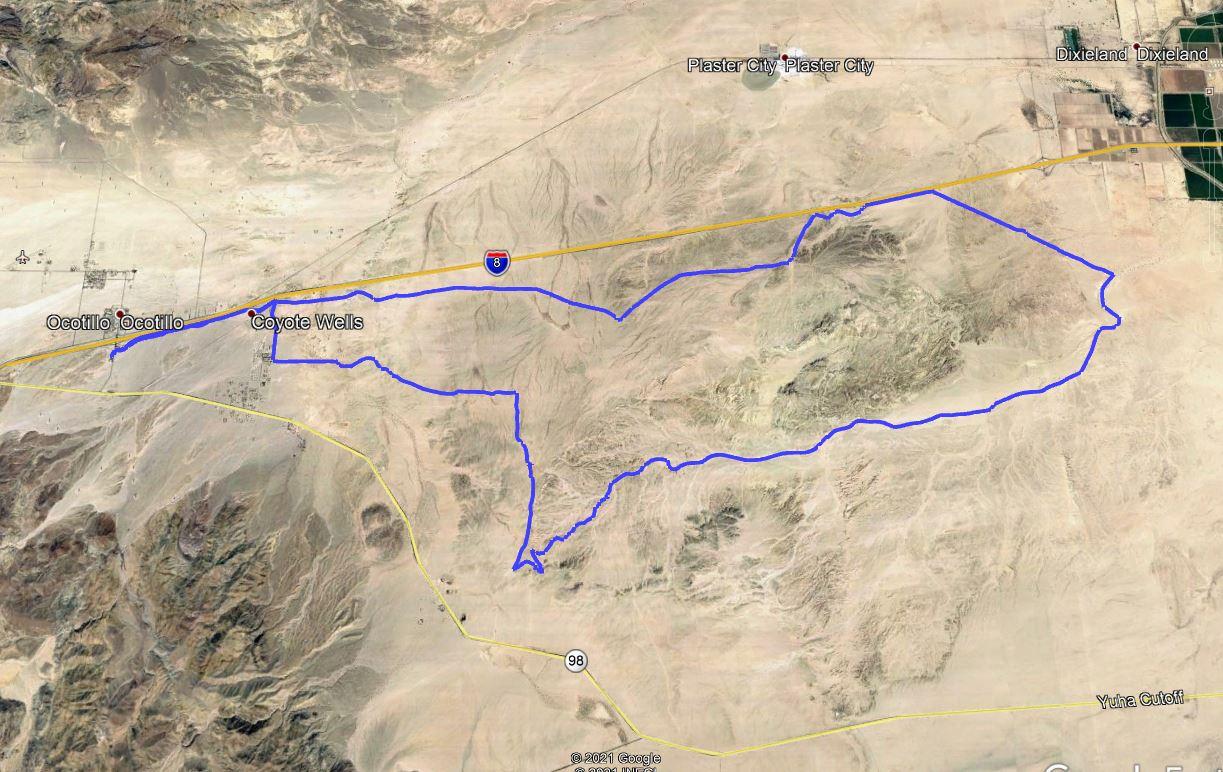
I met up with some new friends, not members here, but they took me on a Kelly Ride in Ocotillo. Has anybody heard of this route? Supposedly named after a deceased desert racer? Lots of sand through a long wash and then back to the highway along a power line road. Man, I missed my old GoldenTyre fatty front tire in all that sand. I currently am running a Motoz Tractionator RallZ on the front and it sucks for sand. Ran 12 lbs air up front. Anyway, it was fairly fun ride of you like sand. I needed the practice.


-
1
-
-
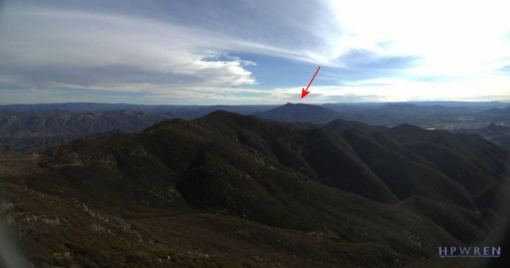
No snow on Tecate Peak apparently:
-
-
-
CITY NEWS SERVICE
SD Collision Fatalities, 1st Ld
Motorcyclist, Bicyclist Killed in Collision at Campground
EAST COUNTY (CNS) - A motorcyclist and a bicyclist were killed today
when they collided at an RV resort and campground near Jamul, authorities said.
The collision happened just before 9:30 a.m. at the Pio Pico RV Resort
and Campground at 14615 Otay Lakes Rd., according to Cal Fire San Diego
spokesman Thomas Shoots.
Firefighters performed CPR on both adults, but about 10 minutes later
the victims were declared dead, Shoots said.
The cause of the accident was under investigation, he said. The gender
of the crash victims was not released.-
1
-
-
Clairemont Cycle Supply may have them in stock, or they will order for you.
-
Very nice! Man, there were a lot of vehicle out there by the graffiti bridge!
-
-
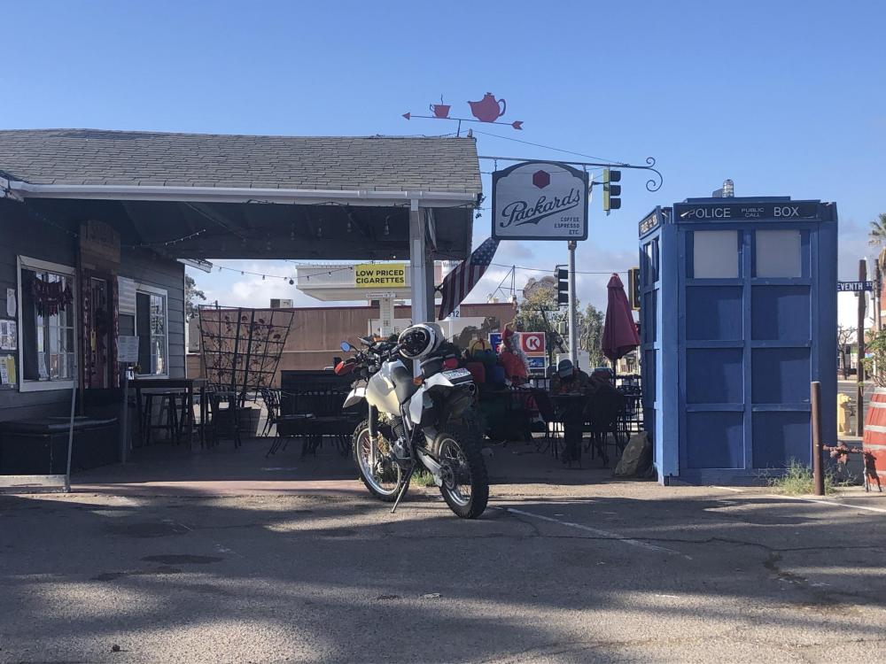
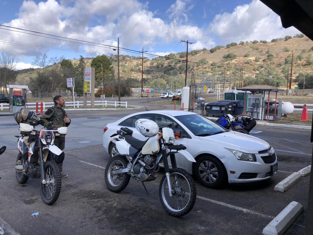
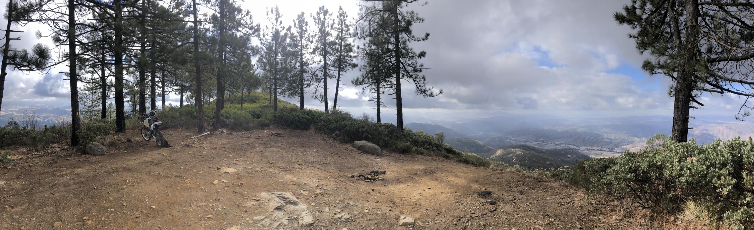
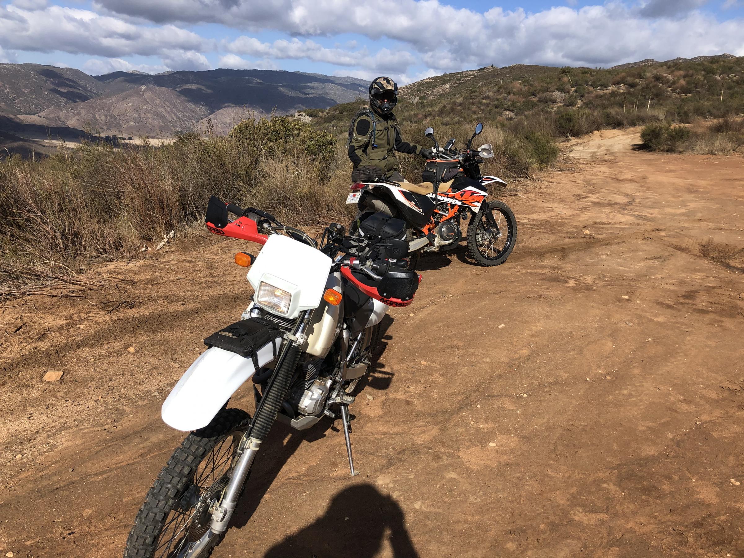
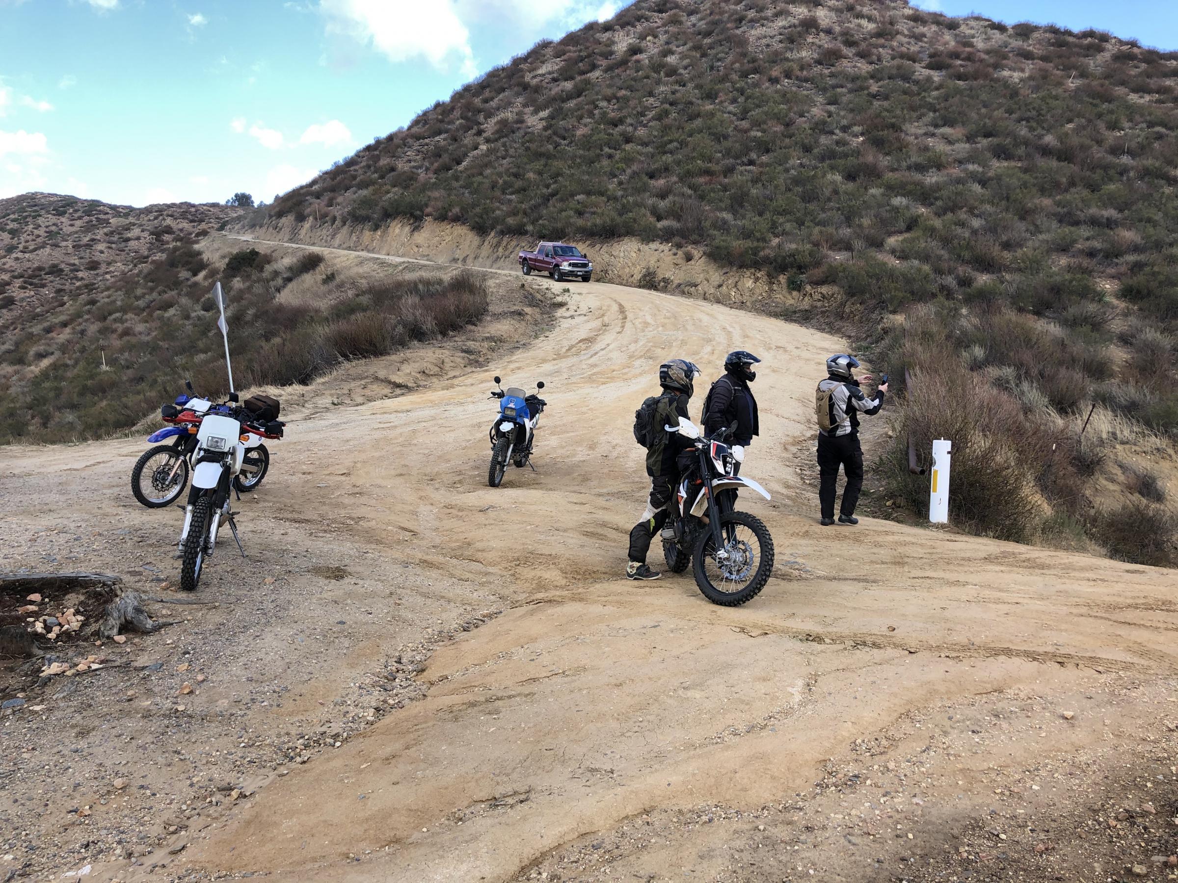
Started out at Packards in Ramona with David, John, and Mike. The dirt was perfect and the trails not crowded and all the gates open. We headed up Black Mountain TT and lost an unnamed rider on the way back down but soon found him and proceeded to Black Canyon Rd. We picked up an extra rider at the gas station in Santa Ysabel: a nice fellow named Paul on a 1993 KLR. We headed down Eagle Peak Rd to the Cedar Falls Trailhead ... the gate was open so we headed up Cedar Creek Rd to Boulder Creek Rd and down Viejas Grade into Alpine. Beautiful day and no offs! 130 miles on my butt.


-
2
-
-
Sounds good, see you at 10
-
Yes, we can go to black mtn (up and back) and cedar creek rd. Should be open.
-
Ok I'll grab a cup of coffee and KSU at 10am from Packards. Cheers.
-
Anyone want to meet at Packards in Ramona tomorrow (Dec 31) at EDIT: 10AM for a slow and easy ride up Pamo, to Santa Ysabel TT, to Black Canyon Rd, pavement up to Wynona, then down the super easy Boulder Creek Rd (there could be a simple water crossing), then ending up in Alpine to head back to San Diego? Track could be like this.
I will be on a street legal XR440. Could be chilly.
-
1
-
-
I am in Tierrasanta. A good meetup spot in Ramona is Packards Coffee Shop, as you can park your vehicle there if you are trucking your bike in. I would be riding in. They may close the gate at Santa Ysabel TT (12S07) due the wet weather. I'm waiting for an update on the forest service alerts page, which is much better at being updated recently. It also should update whether the gate to Black Mountain TT is open. Since you are in Jamul, a route like this might work, which is similar to what Randy proposed a couple days ago. Wednesday is 50/50 for me, but Thursday morning is looking better, depending on the gate closures from the rain. The best thing to do is just post up a specific day/time/route and place you want to meet in a separate thread and see who joins. Best to post a couple days in advance.
-
1
-
-
I'm on a XR440 and off this week. I have a few family things brewing but post up when you are going.
-
Cause of death is heart disease/ heart attack. Manner of death is NATURAL. No injuries to body.
-
1
-
1
-
-
From the Forest Service:
With regard to Forest Order 02-20-8, the closure was put into place for public health and safety due to the road being washed out and is unpassable by any type of vehicle. There are sensitive resources along the road corridor that are causing the delay in being able to maintain the road.

-
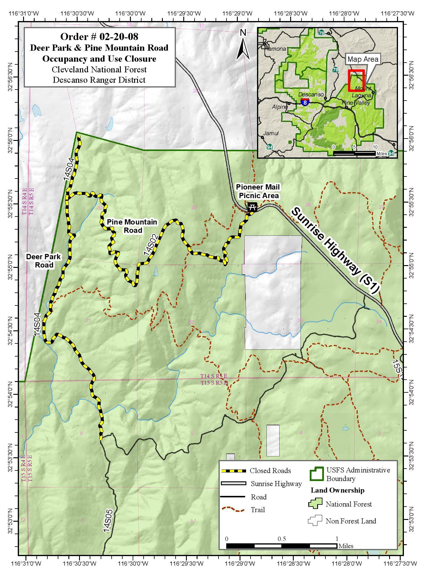
18 hours ago, tvscum said:The PDF order above references a map. I have requested that map attachment. Codes referenced in the order:
16 U.S. Code § 551
The Secretary of Agriculture shall make provisions for the protection against destruction by fire and depredations upon the public forests and national forests which may have been set aside or which may be hereafter set aside under the provisions of section 471 [1] of this title, and which may be continued; and he may make such rules and regulations and establish such service as will insure the objects of such reservations, namely, to regulate their occupancy and use and to preserve the forests thereon from destruction;
36 CFR § 261.50
(b) The Chief, each Regional Forester, each Experiment Station Director, the Administrator of the Lake Tahoe Basin Management Unit and each Forest Supervisor may issue orders which close or restrict the use of any National Forest System road or trail within the area over which he has jurisdiction.
36 CFR § 261.54
When provided by an order, the following are prohibited:
(a) Using any type of vehicle prohibited by the order.
.jpg.281ceb4030ae06147f2c7325f54d28a8.jpg)


Blue Toyota Tacoma damaged near heart attack hill?
in Important Issues, Environmental-Land Use Issues, Important Meetings & Local Information
Posted
https://www.cbs8.com/article/news/local/agencies-block-public-release-info-about-bodies-desert/509-de7dd4b5-8076-4952-a31f-417d1dc38b30